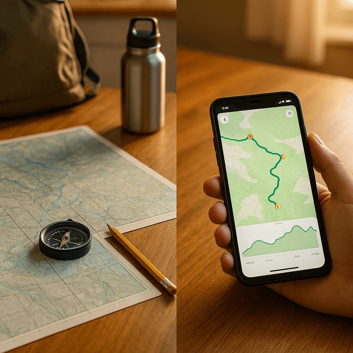
The days of spreading paper maps across your kitchen table are fading fast. AllTrails has become the go-to digital solution for millions of hikers, offering route planning, 3D trail previews, and community-driven reviews all from your smartphone. But can an app truly replace the reliability of traditional navigation tools?
Gone are the nostalgic moments of poring over USGS topographical quadrants spread across your breakfast table. AllTrails and similar digital mapping tools have fundamentally changed how outdoor enthusiasts plan their adventures, trading paper for pixels in the process.
The shift represents more than convenience - it's reshaping the entire outdoor planning experience. Where hikers once spent hours studying contour lines and elevation markers on physical maps, they now swipe through trail options, read community reviews, and get instant access to difficulty ratings and recent trail conditions.
AllTrails stands out in a crowded field of at least a dozen mapping applications designed for wilderness activities. The platform serves hikers, backpackers, mountain bikers, and even hunters, but its strength lies in its accessibility for beginners who might feel intimidated by traditional topographical maps.
The app's core functionality extends beyond simple route finding. Users can track their progress in real-time, follow other hikers' adventures, and contribute to a growing database of trail reviews and photography. This community-driven approach creates a living, breathing resource that updates constantly with current trail conditions and user experiences.
For serious outdoor enthusiasts willing to pay for premium features, AllTrails offers offline map downloads, route deviation alerts, and 3D trail previews that provide unprecedented visual context before you hit the trailhead. These features address one of the biggest pain points in outdoor navigation - understanding terrain complexity before you're committed to a route.
The platform's visual design prioritizes clarity over complexity, making trails easy to follow even for users unfamiliar with reading topographical information. This democratization of outdoor navigation has opened wilderness experiences to people who might have been deterred by the learning curve of traditional map and compass skills.
However, WIRED's review includes a crucial caveat that echoes throughout the outdoor community. Scott Gilbertson emphasizes that GPS signals fail, phone batteries die, and dropped devices become "useless bricks" in critical moments. The publication explicitly advises against relying solely on smartphone applications for wilderness navigation.
This tension between digital convenience and analog reliability reflects a broader debate in outdoor education circles. While apps like AllTrails provide unprecedented access to trail information and planning tools, they can't replace the fundamental skills of map reading and compass navigation when technology fails.
The subscription model that unlocks AllTrails' most powerful features represents a significant shift from the one-time purchase model of paper maps. Advanced users who once bought annual collections of USGS quadrants now pay recurring fees for digital access, though many find the cost reasonable given the breadth of coverage and regular updates.
Looking ahead, the success of AllTrails signals a permanent transformation in how people discover and navigate outdoor spaces. The app's community-driven model creates network effects that traditional map publishers couldn't match - real-time trail conditions, seasonal accessibility updates, and peer recommendations that evolve continuously.
Yet the most experienced outdoor enthusiasts continue advocating for hybrid approaches that combine digital planning with analog backup systems. The USGS still provides downloadable topographical maps, acknowledging that some outdoor scenarios demand the reliability that only paper and compass can provide.
AllTrails represents the new frontier of outdoor planning, successfully translating complex navigation tools into accessible digital experiences. While the app excels at route discovery and community engagement, WIRED's emphasis on backup navigation methods reflects hard-learned lessons from the wilderness. The future belongs to hikers who embrace both digital convenience and analog reliability - using AllTrails to plan the adventure, but carrying paper maps to ensure they make it home safely.